Introduction
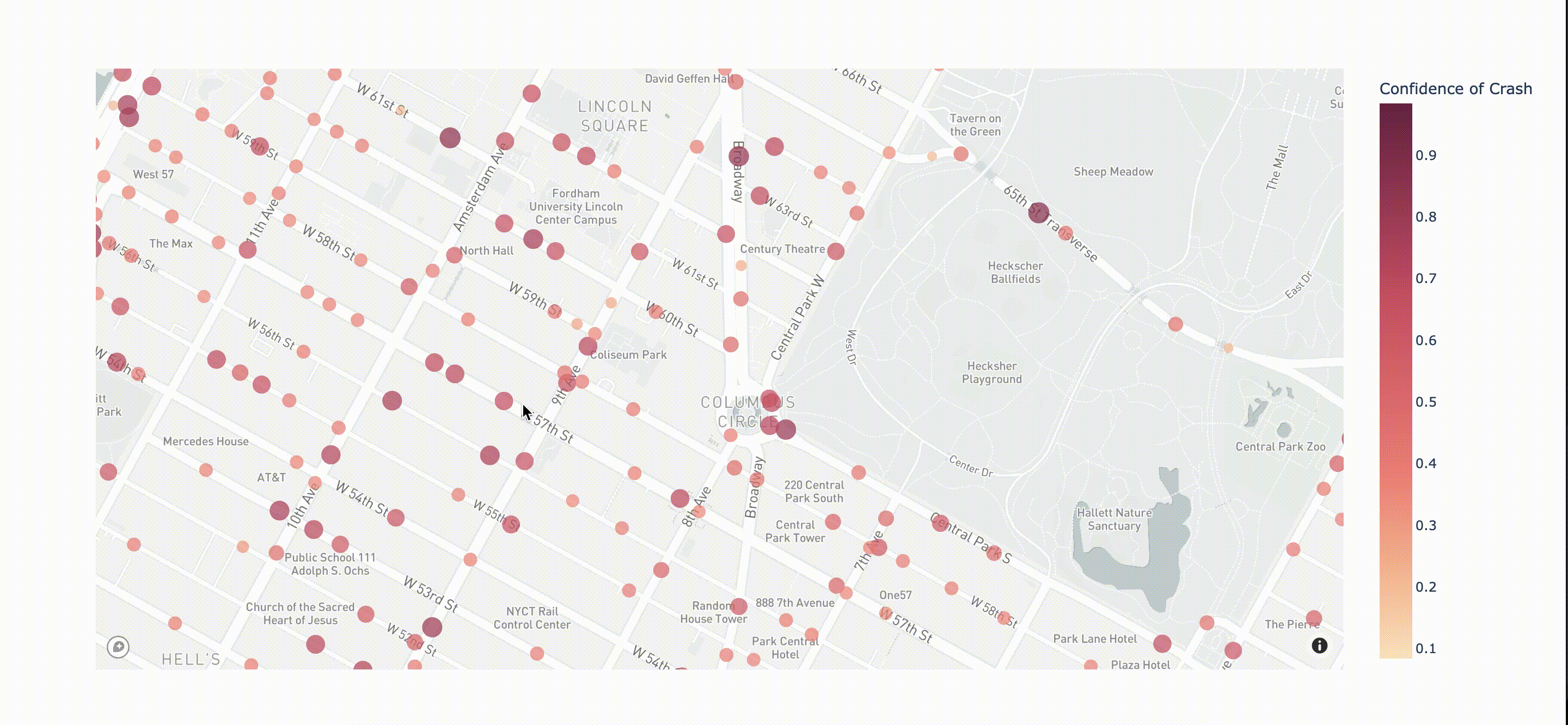
"This project investigates the potential of developing a predictive bicycle-crash detection model to evaluate the safeness of roads for cyclists in New York City. The classification model was trained with Google Street View images – with coordinates labeled “collision” sampled from the “Motor Vehicle Collisions” dataset made available through the NYC Open Data portal and coordinates labeled “no collision” sampled from Open Street Maps’s road network. With the trained model, we produced a map visualizing the predictive scores of approximately 7,000 data points. From here, we identified select roads of high and low predicted crash scores and investigated their differences."